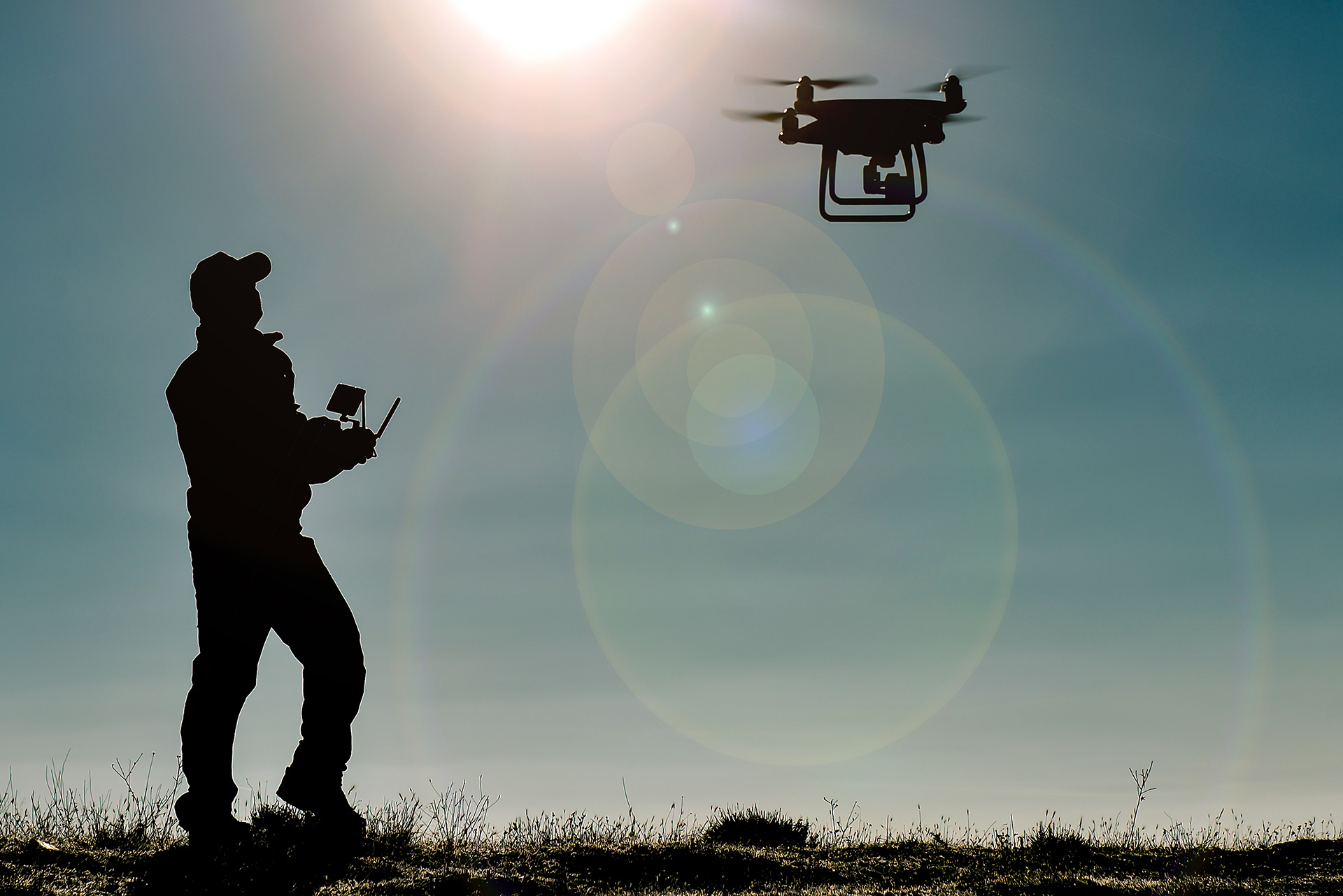
West Virginia law enforcement agencies are using drone technology to get a bird’s- eye perspective on investigations ranging from homicides to missing persons.
According to the Washington County Sheriff’s Office, its drone unit formed suddenly and unexpectedly.
“The drone unit started off as just a hobby,” Special Deputy Davis Powers told WTAP-TV.
Powers said he was called in to assist with a crime scene investigation when he decided to use a drone to get a view of the scene from above. Now, the department has two drones in the unit.
“It started with, unfortunately, a homicide that happened up in New Matamoras. We used the drone to get footprints of the suspect in the case. We were able to see it from a different angle, and that’s where it started. It went from there to the sheriff’s office investing into a drone, and now we have two,” Powers said.
The Parkersburg Police Department’s drone unit began in similar fashion after Captain Keith Roberts began to incorporate aerial drones into investigations of crime scenes.
“He’s very familiar with them. He was familiar with drones prior to us even acquiring one through the police department, which we’ve had for a couple of years. He was the perfect fit to do that,” Chief Matthew Board said.
Both the Washington and Meigs County sheriff’s offices recently used the aerial technology to locate missing individuals.
“We were able to get on scene, get the drone up in the air. The sun hadn’t come out yet so fortunately our drone has thermal and has a great thermal system. We flew patterns around the residence and the surrounding areas and picked him up in a wooded area. Thankfully we were able to find the individual and sent deputies and EMS to the spot. He was able to get medical help right away,” Powers said of the case.
Board said drones are also useful when it comes to documenting large crime scenes or being able to view an entire property or crash scene from an aerial viewpoint.
“The most typical scenario we use our drone is for documentation purposes in regard to a crime scene or a large area that we would have to document. We’ve used it multiple times for scenarios that are outside with a large landscape where we would want to get the entirety of someone’s property where a crime has happened where we can get an aerial view. Even a crash scene, to document the area in which the crash occurred, like an entire intersection,” Board said.
Some agencies, such as the Wheeling Police Department, received federal grants to start up their drone programs. The city of Wheeling received a Justice Assistance Grant worth $40,000 to purchase a drone and conduct training on how to use the technology. The department’s Unmanned Aerial Reconnaissance Team (UART) is composed of five trained officers. The UART’s first real-life use of the technology involved providing security for an event.


